Learning activity 1 – Google Maps
This learning activity uses the Google Maps resource for students to practise using a navigation app.
Anyone can use Google Maps, either through a web browser or the Google Maps app. Instructions are included for both, as the pathways are slightly different.
You may wish to complement this by sharing this video housed in the Parents and carers resource with young people and encourage them to watch it with their parents and carers.
New school environment
Google Maps
Access Google Maps either via the website or the Google Maps app.
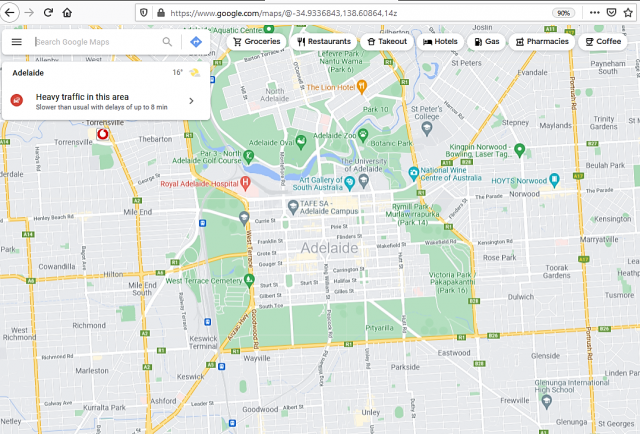
Google Maps website
- Visit the Google Maps website at maps.google.com on your web browser.
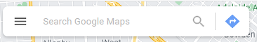
- On the Search bar (top left of the screen) select the ‘directions’ icon.
This is a white right-turn arrow inside a blue diamond.
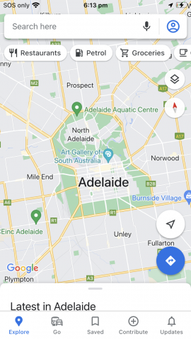
Google Maps app
- Open the Google Maps app.
- Select the 'directions' icon. This is a blue right-turn arrow inside a white diamond inside a large blue circle or square with rounded corners. It is generally at the bottom right of the screen.
This will bring up the directions boxes.
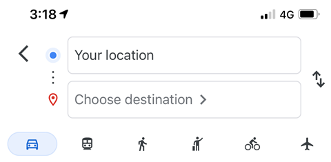
- Enter your starting point: your home street, for example.
- Enter your finish location (destination): primary or secondary school, for example.
Google Maps will automatically show several routes. Underneath the locations you will see a series of travel modes, e.g., car, public transport, cycling, or walking.
- Select the mode of travel you will use.
What have you noticed?
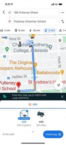
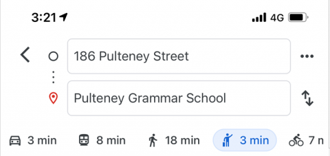
Google maps will provide the existing transport options for the area. This will include bike tracks if available so students can avoid traffic where possible. Each mode of transport will provide an estimate of travel time. In the example in the image to the right, it shows:
- By car – 3mins (with the best route to take)
- By tram – 8 mins (with times and tram/bus numbers)
- By foot (walking) – 18 mins
- By taxi – 3 mins
- Cycling – 7 mins
Note: If you choose the public transport option, a “depart by…” option will appear. You can adjust the leaving time with this option (Google Maps automatically gives directions for 'now'). This is very useful if you wish to select a more appropriate travel time, or see what is available on a Monday morning, for example.
Experiment with other locations and destinations until you are all comfortable with using Google Maps.
Task
- Search for directions from your home to your primary school, your home to your secondary school, and from your primary school to your secondary school.
- What is the fastest way to get to secondary school?
- How will you probably get to secondary school? Why?
- What happens if you select the bus or train to get to school? Is this an option? Would you have to do any extra walking to get to the bus/train station?